(source http://www.colorado.edu/geography/gcraft/notes/datum/datum_f.html)
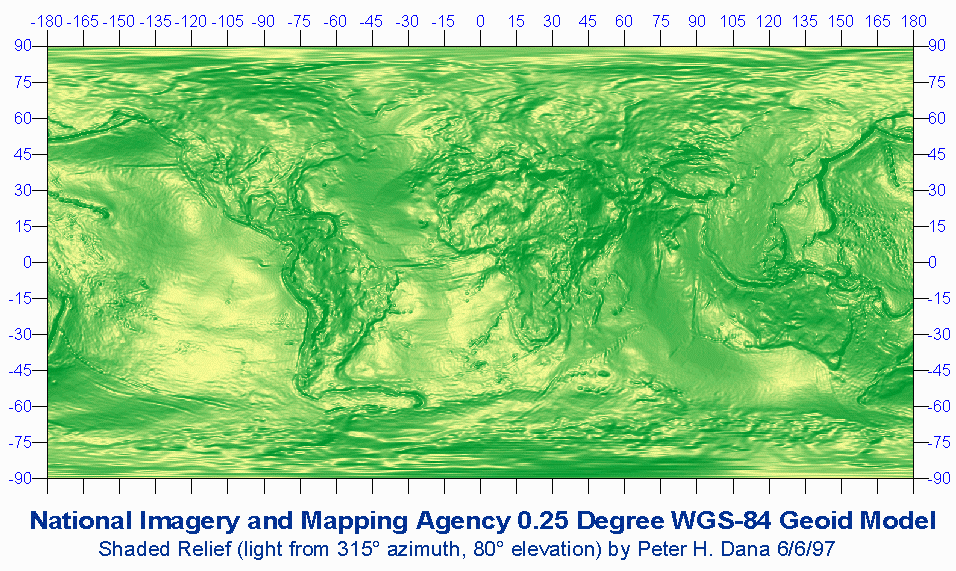
Geoids
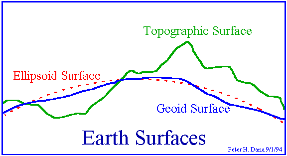
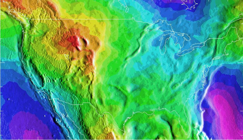
Geoid models attempt to represent the surface of the entire earth over both land and ocean as though the surface resulted from gravity alone. The WGS-84 Geoid defines geoid heights for the entire earth.
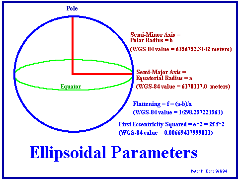
Ellipsoids
Airy,
6377563.396, 299.3249646, 573.604, 0.11960023
Australian
National, 6378160.0, 298.25, -23.0, -0.00081204
Bessel
1841, 6377397.155, 299.1528128, 739.845, 0.10037483
Bessel
1841 (Nambia), 6377483.865, 299.1528128, 653.135, 0.10037483
Clarke
1866, 6378206.4, 294.9786982, -69.4, -0.37264639
Clarke
1880, 6378249.145, 293.465, -112.145, -0.54750714
Everest,
6377276.345, 300.8017, 860.655, 0.28361368
Fischer
1960 (Mercury), 6378166.0, 298.3, -29.0, 0.00480795
Fischer
1968, 6378150.0, 298.3, -13..0, 0.00480795
GRS
1967, 6378160.0, 298.247167427, -23.0, -0.00113048
GRS
1980, 6378137, 298.257222101, 0.0, -0.00000016
Helmert
1906, 6378200.0, 298.3, -63.0, 0.00480795
Hough,
6378270.0, 297.0, -133.0, -0.14192702
International,
6378388.0, 297.0, -251.0.0, -0.14192702
Krassovsky,
6378245.0, 298.3, -108.0, 0.00480795
Modified
Airy, 6377340.189, 299.3249646, 796.811, 0.11960023
Modified
Everest, 6377304.063, 300.8017, 832.937, 0.28361368
Modified
Fischer 1960, 6378155.0, 298.3, -18.0, 0.00480795
South
American 1969, 6378160.0, 298.25, -23.0, -0.00081204
WGS
60, 6378165.0, 298.3, -28.0, 0.00480795
WGS
66, 6378145.0, 298.25, -8.0, -0.00081204
WGS-72,
6378135.0, 298.26, 2.0, 0.0003121057
WGS-84,
6378137.0, 298.257223563, 0.0, 0.0
Datums

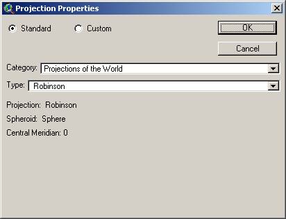
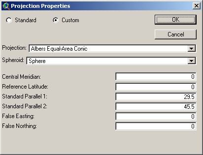
Projections
(Standard
parallels or meridians)
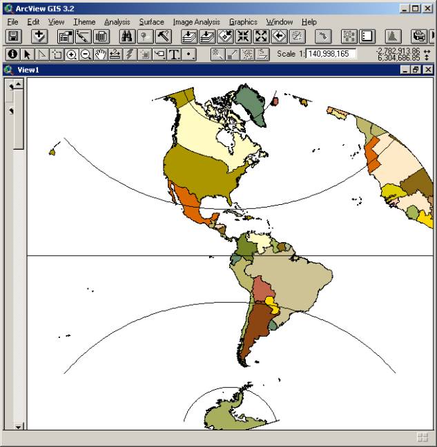
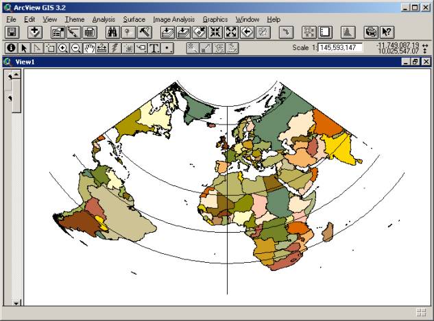
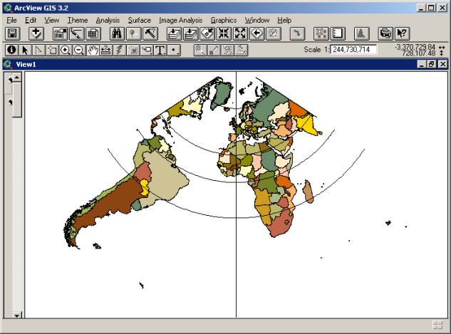
Effect of projection differences
![]()
Vetical Near-side
Perspective (under Projections—custom)
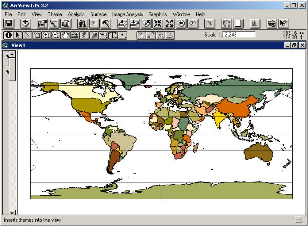
Projection Geographic (Platte Carree)
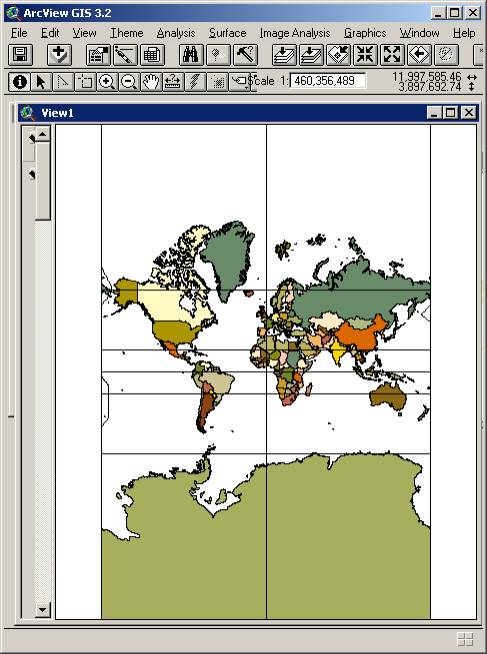
Cylindrical Projections
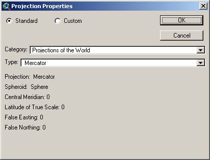
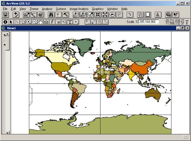
Mercator
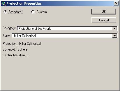
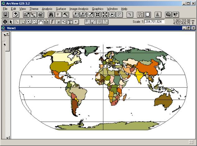
Miller Cylindrical
Compromise Projections
Robinson
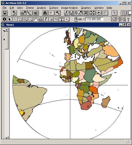
Conic Projections
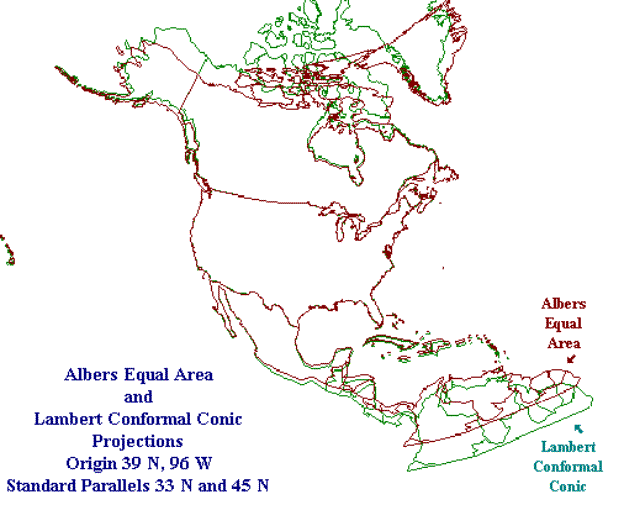
Albers Equal Area Conic
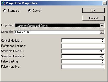
Lambert Conformal Conic
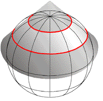
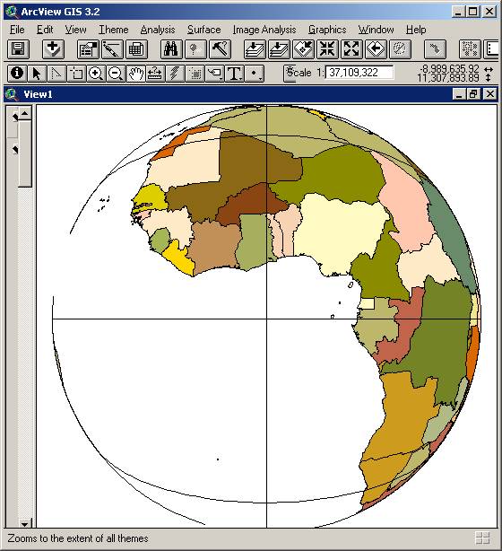
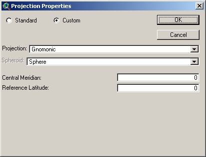
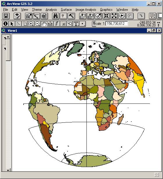
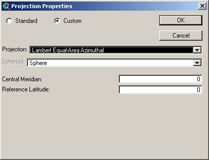
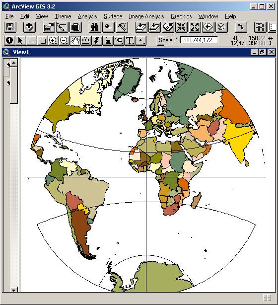
Planar Projections (azimuthal)
Gnomonic
Lambert Equal Area Azimuthal
Stereographic
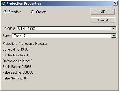
UTM –
Transverse planar projection;
different standard meridians for each of 60 6-degree zones;
Origin = equator and a meridian 500,000m W of center of zone.
Great distortion with E-W distance from standard meridians; little distortion within zones
So great for large scale maps.
Usually based on NAD83. (very similar to WGS84)
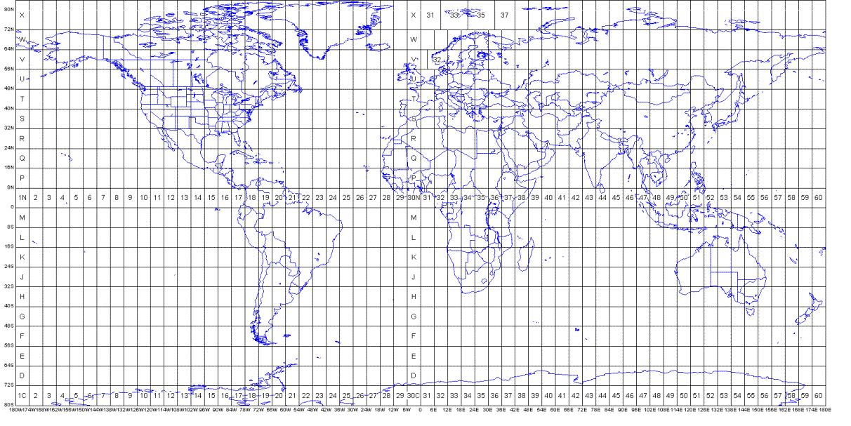
Transverse Mercator (UTM) Zone 18