1.
A few principles of biogeography
(take
notes on this: you’ll be quizzed!)
2.
Why are we here? (from a biogeographical perspective)
3.
Maps
A.
Conditions for life:
(focusing on plants, since those are easiest to explain environmentally)
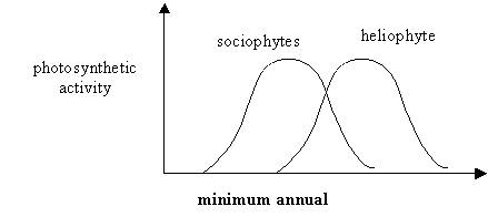
light
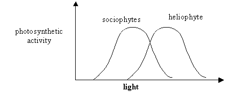 (duration,
intensity)
(duration,
intensity)
examples??
moisture
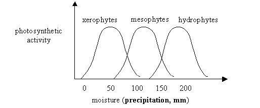
examples of moist/dry plants??
Precipitation
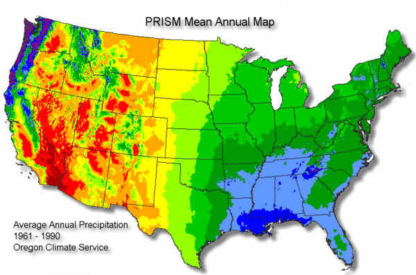
http://www.wcc.nrcs.usda.gov/images/usprism.jpg
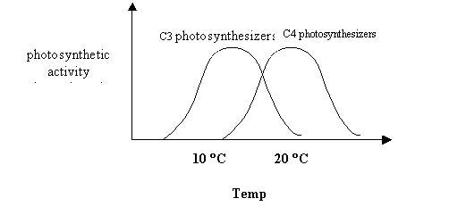
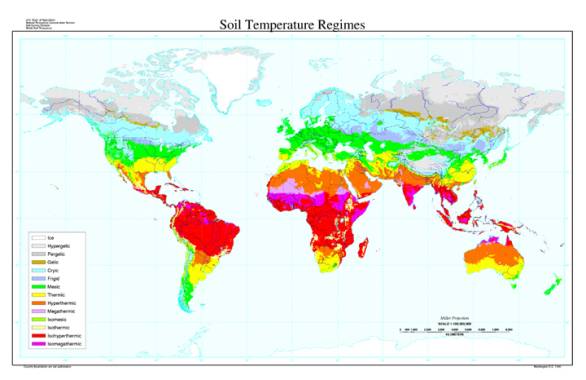
temperature
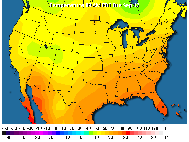
http://www.wunderground.com/data/640x480/2xus_st.gif
http://www.nationalatlas.gov/greennes.html
other variables: seasonality, chemistry (soils or water)
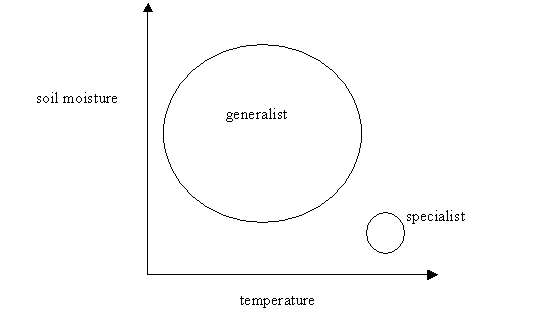
B. Limiting Factors, Tolerance Limits:
C. Locations
(site and situation: arrangements of mountains, valley, topography, proximity to ocean)
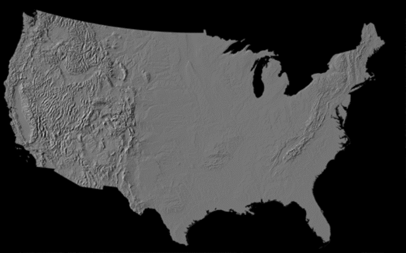
ftp://wrgis.wr.usgs.gov/pub/i-map/i2206/usa_shade.gif
Download the full dataset in tiff image format: usa_shade.tif
(11.8MB)
D.
Historical accidents (or events)
such as glacial episodes,
disturbance events (hurricane frequency),
dispersal events (invasions, English Sparrow, Starling, House Finch, Olanthus, purple loosestrife, etc.)
Summary
of Bigeographic Controls, in general:
Temperature,
precip,
proximity to source areas,
dispersal barriers,
historical events
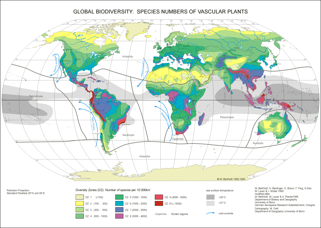
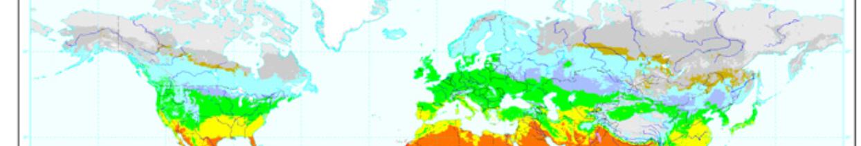
http://www.botanik.uni-bonn.de/system/Biodivmap_Barthlott_300dpi.gif

So, Why are we here?
Temperatures
Plant diversity
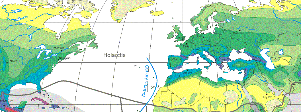
http://admissions.vassar.edu/hudsonvalley/
Why are we here?
biogeographical and environmental conditions
temperature (frost-free period)
precipitation
soils
topography
historical events
Maps
Major types of maps
How do we make them?
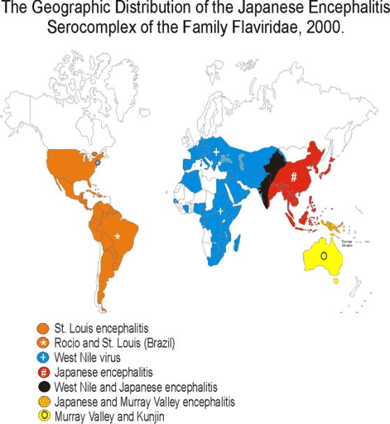

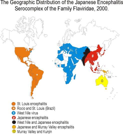
Now, how do you explain this?
http://www.cdc.gov/ncidod/dvbid/westnile/map.htm
|
Map:
Geographic Distribution of the Japanese Encephalitis Serocomplex of the
Family Flaviridae, 2000. |
|
|
||
|
|
||||
|
|
|
|
|
|
|
|
||||
|
|
||||
|
|
||||